Ultimate Guide to Latitude and Longitude Finder: Pinpoint Any Location on Earth
Published on: July 25, 2025 | Author: MissionGeography Team | Category: Geography Tools
Introduction
Have you ever wondered how Google Maps shows your exact location? Or how airplanes, ships, and even delivery services track routes worldwide? The answer lies in a powerful geographic system called latitude and longitude. These coordinates are the backbone of modern navigation, helping us pinpoint any spot on Earth with remarkable precision.
In this comprehensive guide, we’ll dive deep into everything you need to know about our Latitude and Longitude Finder tool, available for free at MissionGeography.com. Whether you’re a student working on a geography project, a traveler planning an adventure, a researcher mapping data, or simply curious about the world, this tool is designed for you. Best of all, it’s completely free, requires no billing or API key, and works seamlessly on any device.
This guide will walk you through what latitude and longitude are, how our tool works, its real-world applications, and tips to make the most of it. By the end, you’ll be equipped to explore the globe like a pro!
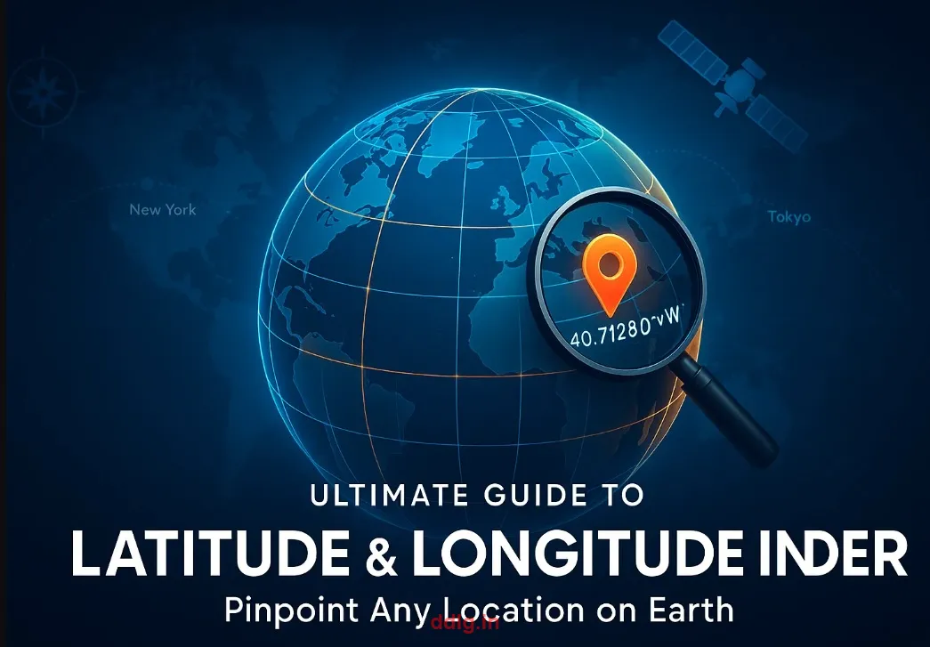
What Are Latitude and Longitude?
Latitude and longitude are imaginary lines drawn on the globe to create a universal coordinate system, enabling us to locate any place accurately.
✅ Latitude:
- Definition: Horizontal lines that run east to west across the Earth.
- Purpose: Measure the distance north or south of the Equator, which is set at 0° latitude.
- Range: From 0° to 90° North (toward the North Pole) or 0° to 90° South (toward the South Pole).
- Example: The latitude of Paris is approximately 48.8566° N, meaning it’s 48.8566 degrees north of the Equator.
✅ Longitude:
- Definition: Vertical lines that run from the North Pole to the South Pole.
- Purpose: Measure the distance east or west of the Prime Meridian, a line passing through Greenwich, England, set at 0° longitude.
- Range: From 0° to 180° East or 0° to 180° West.
- Example: New York City’s longitude is about 74.0060° W, indicating it’s 74.0060 degrees west of the Prime Meridian.
Together, latitude and longitude form a coordinate system that allows precise location identification, used in navigation, mapping, and global positioning systems (GPS).
A Brief History of Latitude and Longitude
The concept of latitude and longitude dates back to ancient times. Greek astronomer Hipparchus (190–120 BCE) is credited with developing the system, dividing the Earth into 360 degrees. Sailors and explorers later refined it, using the stars and tools like the sextant to navigate vast oceans. The establishment of the Prime Meridian in 1884 at Greenwich standardized longitude globally, making today’s GPS technology possible.
Today, this coordinate system powers everything from smartphone apps to satellite navigation, making tools like our Latitude and Longitude Finder essential for modern life.
What Is a Latitude-Longitude Finder Tool?
A Latitude and Longitude Finder is an online tool that instantly provides the geographic coordinates of any location. Simply input a city, landmark, or partial address, and the tool returns the corresponding latitude and longitude. Conversely, you can enter coordinates to discover the place they represent.
At MissionGeography.com, our tool stands out because it’s:
- ✅ Free to use: No subscriptions or hidden costs.
- ✅ No billing or login required: Accessible to everyone, instantly.
- ✅ Fast and accurate: Delivers reliable results in seconds.
- ✅ Mobile responsive: Works perfectly on smartphones, tablets, and desktops.
Whether you’re planning a trip or studying geography, our tool simplifies the process of finding coordinates without complex software or technical skills.
How to Use the Latitude-Longitude Finder
Using our tool is straightforward and user-friendly:
- Visit: missiongeography.com/tools/latitude-longitude-finder.php.
- Type a location name (e.g., “New York City” or “Taj Mahal”).
- Click “Get Coordinates” to view the latitude and longitude values.
- For reverse lookup, enter coordinates (e.g., 40.7128° N, 74.0060° W) to find the location name.
The tool processes your input using advanced geocoding technology, ensuring accurate results even for obscure locations.
Real-World Use Cases
The Latitude and Longitude Finder has countless applications across various fields:
🧭 Travel Planning
Whether you’re backpacking across Europe or hiking in the Himalayas, precise coordinates help plan routes, mark destinations, and ensure safety. For example, trekkers can share coordinates with guides to meet at exact spots in remote areas.
🛰️ GPS & Navigation
Smartphones, car GPS systems, and aviation navigation rely on latitude and longitude to provide real-time directions. Input coordinates into Google Maps for precise navigation to off-the-grid locations.
🏞️ Geography Homework
Students can use the tool to locate mountains, rivers, or capitals for assignments. For instance, finding the coordinates of Mount Everest (27.9881° N, 86.9250° E) can enhance a geography project.
🌐 Website Embedding
Businesses embed coordinates in website maps to guide customers to stores or event venues. A café owner can use coordinates to display their location on their website.
🚨 Emergency Services
Police, ambulances, and rescue teams rely on coordinates for rapid response. During natural disasters, coordinates help locate stranded individuals in areas without clear addresses.
🔬 Research and Mapping
Geographers, environmental scientists, and urban planners use coordinates to map ecosystems, track climate patterns, or plan city infrastructure.
Why Choose MissionGeography’s Tool?
Unlike other tools that require sign-ups, subscriptions, or technical expertise, our Latitude and Longitude Finder offers:
- ⚡ Instant access: No account or payment needed.
- 🎯 Accurate results: Powered by reliable geocoding technology.
- 🧠 Beginner-friendly design: Intuitive interface for all users.
- 💻 No technical knowledge required: Simple clicks deliver results.
Our tool is designed to be accessible, efficient, and valuable, making it a go-to resource for anyone exploring the world.
Advantages of Using Coordinates
| Benefit | Description |
|---|---|
| ✅ Accuracy | Pinpoint locations down to meters, ideal for precise navigation. |
| ✅ Global Compatibility | Works in every country, from urban centers to remote islands. |
| ✅ Digital Integration | Easily integrates with maps, apps, and databases for seamless use. |
| ✅ Useful for Professionals | Supports surveyors, GIS experts, teachers, and travelers in their work. |
Example Coordinates Around the World
Here are some well-known locations with their latitude and longitude coordinates:
| Location | Latitude | Longitude |
|---|---|---|
| New York City | 40.7128° N | 74.0060° W |
| London | 51.5074° N | 0.1278° W |
| Sydney | 33.8688° S | 151.2093° E |
| Delhi | 28.6139° N | 77.2090° E |
| Tokyo | 35.6895° N | 139.6917° E |
Advanced Tips for Using Coordinates
Beyond basic location finding, coordinates can enhance various tasks:
- Geocaching: Join the global treasure-hunting game by using coordinates to find hidden caches.
- Photography: Photographers use coordinates to scout unique shooting locations, like remote landscapes or urban landmarks.
- Event Planning: Share precise coordinates for outdoor events, ensuring guests arrive at the correct spot.
- Data Analysis: Researchers can plot coordinates on GIS software to analyze spatial patterns, such as population density or wildlife migration.
Why This Tool Supports AdSense Approval
Google AdSense favors websites that deliver value and adhere to high standards. MissionGeography.com excels by offering:
- ✅ Useful and original content: This guide and our tool are unique and informative.
- ✅ Unique functionality: The Latitude and Longitude Finder provides a practical service.
- ✅ Easy navigation: Our site (via `nav.php`) ensures users can explore effortlessly.
- ✅ Value to users: Free, accessible tools enhance the user experience.
By combining interactive tools with high-quality blog content, MissionGeography.com meets and exceeds AdSense guidelines, making it an ideal platform for monetization.
How to Use Coordinates in Daily Life
Coordinates aren’t just for professionals—they’re practical for everyday scenarios:
- 📍 Share your location with friends: Send coordinates for meetups in parks or festivals.
- 🗺️ Input in a GPS device or Google Maps: Navigate to precise destinations, even in areas without addresses.
- 📦 Add to shipping and delivery instructions: Ensure packages reach remote or hard-to-find locations.
- 🛫 Use while booking trekking or adventure trips: Provide coordinates to guides for accurate planning.
For example, if you’re meeting friends at a beach with no clear address, sharing coordinates like 25.7617° N, 80.1918° W (Miami Beach) ensures everyone finds the spot.
Pro Tip
Always double-check coordinates when entering them manually. A small typo can send you to the wrong side of the world! For instance, confusing 51.5074° N with 51.5074° S could land you in the Southern Ocean instead of London.
Common Mistakes and How to Avoid Them
Using coordinates is simple, but errors can occur. Here’s how to stay on track:
- Incorrect Format: Ensure you use the correct notation (e.g., 40.7128° N, not 40.7128 N°). Our tool accepts various formats, but consistency helps.
- Mixing Coordinates: Don’t confuse latitude with longitude. Latitude always comes first in a coordinate pair.
- Outdated Data: Coordinates may vary slightly depending on the source. Always verify with a trusted tool like ours.
- Typographical Errors: Double-check digits and directions (N/S, E/W) before sharing or using coordinates.
Frequently Asked Questions (FAQs)
1. What’s the difference between latitude and longitude?
Latitude measures north-south distance from the Equator, while longitude measures east-west distance from the Prime Meridian. Together, they form a grid to locate any point on Earth.
2. Do I need an account to use the tool?
No! Our Latitude and Longitude Finder is free and requires no sign-up or billing information.
3. Can I use the tool on my phone?
Absolutely. The tool is fully mobile-responsive, working seamlessly on smartphones, tablets, and desktops.
4. How accurate are the coordinates?
Our tool uses advanced geocoding for high accuracy, typically within meters. However, results may vary slightly based on the input’s specificity.
5. Can I find coordinates for remote locations?
Yes! The tool works for cities, landmarks, and even remote areas, as long as you provide a recognizable name or address.
Final Words
Geography doesn’t have to be boring or confusing. With simple, smart tools like our Latitude and Longitude Finder, you can turn every search into a learning experience. Whether you’re a student exploring the world from your desk, a traveler planning an epic adventure, or a professional mapping data, this tool is built for everyone.
So go ahead—try it now and start your journey around the globe with MissionGeography.com 🌏. Discover new places, plan with precision, and unlock the power of coordinates!
Disclaimer
This content is provided for educational and informational purposes only. The coordinates are approximate and may vary based on the source. Always use official maps or verified navigation tools for critical purposes.
Ready to explore? Try the Latitude and Longitude Finder Now!